Los Corales, Bávaro, placed on the map and read from Cana Bay
What each name in a Los Corales address means
OpenStreetMap, the volunteer-built open map, files Los Corales as a neighbourhood of Bávaro, files Bávaro under the municipality of Higüey, and files Higüey in the province of La Altagracia. So an address there reads from small to large: the street, then Los Corales, then Bávaro, Higüey and La Altagracia. Neither Los Corales nor Bávaro has a drawn boundary on that map. Both are marked as single points, so the names locate a place without fencing it in.
Between the town and the municipality sits a layer the open map leaves out, and it is the one that runs local affairs. Bávaro is one of the communities of the El Salado section of the Verón–Punta Cana tourist municipal district, which Law 386-06 of 3 October 2006 created inside the municipality of Higüey. The same list of El Salado communities names El Cortecito, Cabeza de Toro, Macao, Uvero Alto and Arena Gorda, the stretch of shore that Cana Bay opens onto.
That is why Punta Cana can appear on a Bávaro address without contradicting it. On the official ladder the name belongs to the district; in everyday speech it is stretched to cover the whole coast. Neither use tells you which community a home actually stands in, and that is the first thing worth pinning down.
Two communities, one district council
Because Bávaro and Arena Gorda both belong to the same tourist municipal district, Los Corales and Cana Bay answer to the same local government. The district now manages and charges for land use itself, on the basis of article 24 of Law 368-22 on territorial planning, land use and human settlements, so a building project anywhere in its territory goes through the district council's land-use consultation before anything else. What may be built near a home in either place is a question for that council.
The district's own standing is not settled. A bill to raise Verón–Punta Cana to a municipality in its own right passed the Senate in 2025 and then lapsed in the National Congress, and deputies revived the discussion publicly in September 2026. As of this writing it is not law, and the district remains part of Higüey. A long-term owner on either side should follow it, because it would change the local government that sits above both addresses.
So the open neighbourhood and the gated community are not separate jurisdictions. What differs is the layer each adds on top. Los Corales is open streets of condominiums, villas and small hotels with no gate around them; Cana Bay is a gated community, with its own entrance and shared grounds inside one perimeter.
One shoreline, two kinds of water
The sand in front of Los Corales is not cut off from the sand Cana Bay opens onto: one unbroken run of beach joins Los Corales to Arena Gorda. Under Law 305 of 1968, roughly the first 200 feet inland from the high-tide line is public property along the whole Dominican coast. It cannot be sold, and no hotel or owner can lawfully turn it into a private beach.
The water is another matter. Los Corales takes its name from the coral reef that runs along the Bávaro coastline and breaks the ocean swell well offshore, which is why the sea near its beach is usually calm. Arena Gorda is a more exposed part of the coast: wind and waves are consistently described as stronger there than at Bávaro, which is why board, kite and wind sports gravitate to it. Neither description is a forecast for any particular day.
Reaching the sand is a separate question from owning it. El Cortecito, the beach village beside Los Corales, is one of the principal public ways onto Playa Bávaro, and the nearest public entry for the resort-lined stretches of Arena Blanca and Arena Gorda, where access from the road is scarce. When sargassum seaweed reaches this coast, the public stretches there are usually hit harder than the resort-fronted beaches, because hotels clean their own sand more often. Poseidonia's own published distance to the beach is about 5 minutes.
The services behind both addresses
Power. Electricity on this coast is supplied under a private concession. The concession holder, a company founded in 1992, generates, transmits, distributes and sells power in an area it lists as Punta Cana, Bávaro, Verón, Macao, Uvero Alto, Miches, Bayahíbe and La Romana. After Hurricane Fiona in 2022 the company said it had restored more than 90% of its service to more than 50,000 customers in under 36 hours. Read that as a planning figure, not a promise: even a quick restoration leaves homes dark for hours, so ask any building, open or gated, what backup it carries. The concession names towns, not addresses, so confirm the supplier at the address itself.
Internet. Fixed lines follow the same pattern. One carrier's published list of sectors with fibre optic names Bávaro and the Bávaro tourist zone, and it also names Cana Bay. Another sells plans of up to 500 Mbps on a hybrid fibre-coaxial network in areas that include Bávaro, with an upload ceiling of 20 Mbps on that network. These are coverage lists and plan ceilings, not address checks or measured speeds, and Poseidonia is not built yet, so nobody can say today which line will reach a given unit.
Policing. Both addresses also fall under the same tourist policing. By its own account, the national tourist police, Politur, has agents posted at Punta Cana International Airport and across Punta Cana and Bávaro, with a permanent sub-command covering the Bávaro–Punta Cana area. No official source publishes crime statistics below the province, so a neighbourhood crime rate quoted online comes from a travel site, not from a government.
Getting from Cana Bay to Los Corales
The only distance that can be stated honestly is geometric: roughly 5 miles in a straight line from Poseidonia's published coordinates to the point the open map marks as Los Corales. Poseidonia's own published drive times put downtown at about 17 minutes and Punta Cana International Airport at about 25, but none of them covers Los Corales, so route the trip on the day rather than trusting a figure in a guide.
Without a car, the local guagua minibuses running from Friusa or Verón will drop passengers at El Cortecito if asked; no fare or timetable is published, so ask at the stop. Behind the wheel, go in with open eyes: Canada's foreign ministry describes road conditions across the country as varying greatly, says accidents occur frequently, and notes that drivers do not always respect traffic laws. For an evening out in Los Corales, a taxi each way removes the question.
Placing any address on this coast before you buy
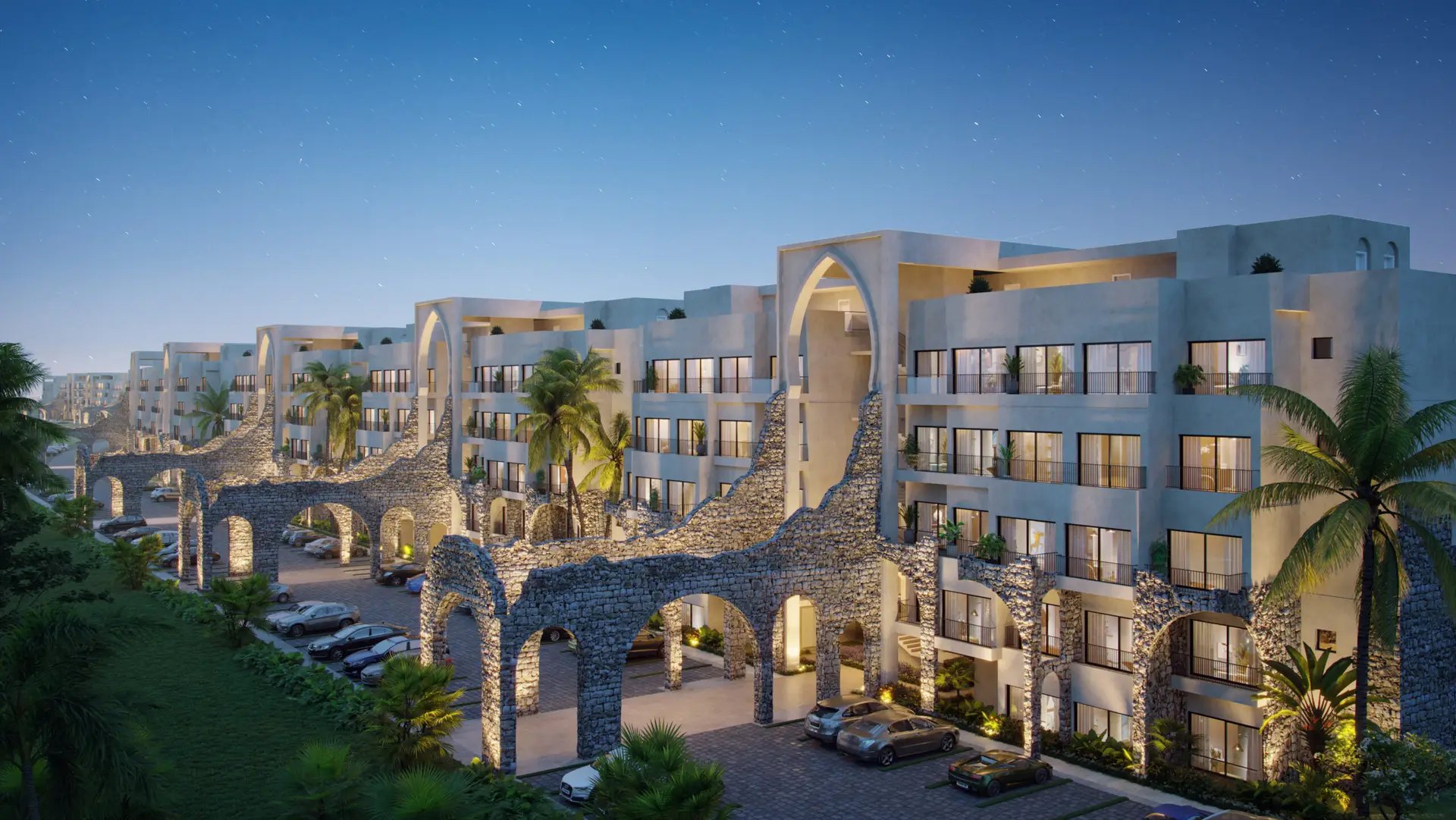
Poseidonia is a development of 1,319 residences inside gated Cana Bay, priced from $179,000, with 20+ pools, golf on site and delivery projected for 2028. It is not in Los Corales and does not borrow the neighbourhood's character. What the two share is the map: one district, one shoreline and the same service providers. That makes Los Corales a useful reference point for placing any address here, ours included.
Name the community, not just the coast. Ask which community of the district a home stands in, whether Bávaro, Arena Gorda, El Cortecito or another, before deciding what Punta Cana on a listing means.
Find the public way to the sand. The beach is public by law, but the nearest public entry is a fact about the road network. Ask where it is.
Check services at the address. Concessions and coverage lists name towns and sectors; the answer for one building comes from the supplier, for that building.
Time the trips you will really make. Straight-line miles flatter a route, so drive it or route it at the hour you would travel. For floor plans or current availability at Poseidonia, the enquiry form on this site's main page is the quickest way to ask.
Common questions
- Where exactly is Los Corales in Bávaro?
- Los Corales is a neighbourhood of Bávaro, in the municipality of Higüey and the province of La Altagracia. Bávaro in turn is one of the communities of the El Salado section of the Verón–Punta Cana tourist municipal district. No authority publishes a boundary for the neighbourhood, so treat its edges as approximate.
- Is Cana Bay part of Los Corales?
- No. Cana Bay opens onto Arena Gorda, a different stretch of the same shore, and Poseidonia's coordinates lie roughly 5 miles in a straight line from the point the open map marks as Los Corales. The two do share a local government: both communities belong to the same tourist municipal district.
- Is the beach at Los Corales public?
- The sand is. Under Law 305 of 1968, roughly the first 200 feet inland from the high-tide line is public property along the entire Dominican coast and cannot be sold or turned into a private beach. Getting onto it is a separate matter, so use a public way such as El Cortecito.
- Is Verón–Punta Cana a municipality?
- Not as of this writing. It is a tourist municipal district inside the municipality of Higüey, created in 2006. A bill to make it a municipality passed the Senate in 2025 and then lapsed, and deputies reopened the discussion in September 2026.
- Can I reach Los Corales from Poseidonia without a car?
- Yes, with some planning. Local guagua minibuses running from Friusa or Verón will drop passengers at El Cortecito, beside Los Corales, if asked; no fare or timetable is published. For an evening out, a taxi each way is the simpler choice.
Want the details for your own situation?
Ask about availability, layouts or the buying process, and someone from the sales team will get back to you.
Get in touch